


If you usually rely on the maps on your smartphone or tablet to get around Paris, you’ve probably had moments where it simply won’t load.
I have 4G, yet I always seem to be in the metro on my way across town and I can’t zoom in enough to find the street I need. Then there are all of you visitors who don’t want to deal with roaming fees, but don’t always have access to WiFi. My Plan B is the tattered little Paris par Arrondissement map booklet that’s always at the bottom of my bag.
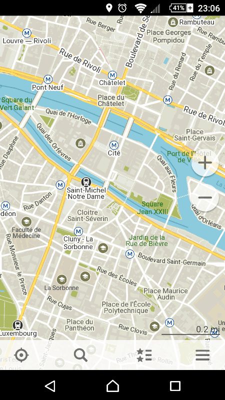
But now you can use the completely free Maps.Me app to get detailed, offline maps of not just Paris, but every city in the world, big or small. You can zoom in quickly, no long delays and grey screens. You can see all sorts of points of interest, museums, gardens, restaurants, metro stations, etc. It’s part of the OpenStreetMap project, and allows users to contribute information to improve the maps.
Available on all mobile platforms including iPhone, Android, Blackberry: http://maps.me
I still highly recommend carrying an actual print map somewhere on you when traveling, because there’s nothing worse than knowing your smartphone battery is dying and having to choose between taking more photos, finding your way to your hotel, or being able to order an Uber to get you there!
Click here for more information on maps and finding your way around Paris.


Speaking of paper maps, for those who don't carry a magnifying glass with them to read Le Petit Parisien 3 Plans par Arrondissement, L'Indespensable – there is an easier to read version called Mieux Voir Paris. I got mine from the large FNAC near Montparnasse. Highly recommended, with a readable font for the street addresses and each arrondissement split across two pages, either nord/sud or est/ouest. Ah Paris – all the easier to see you with, my dear!